Click any image for larger version
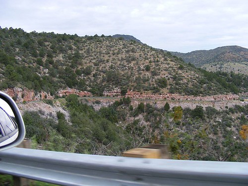
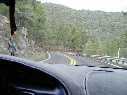
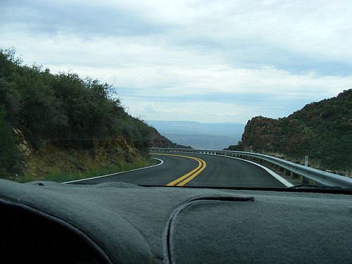
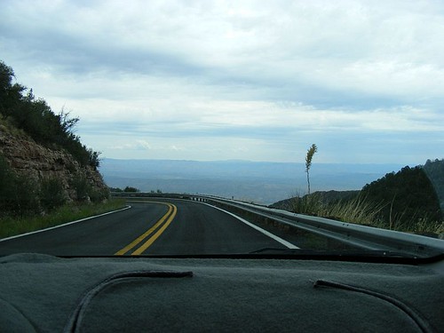
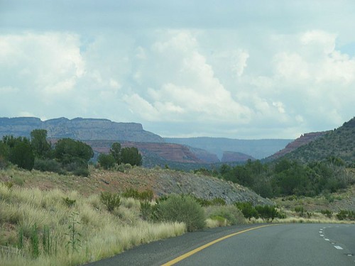
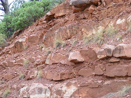
The plan today was to drive from Prescott thru Jerome, Sedona, Flagstaff, Winslow, and on to Holbrook and the Petrified National Forest. The trip started out that way, under gray skies. Jim drove as the road to Jerome was a bit mountainous and twisty. I don't do well with twisty and mountainous. Either one alone is enough to slow my normal foot-to-the-floor driving to something less than the posted limit. Add the two together, and I am driving pretty much at a dead crawl. Jim said he wanted to make the drive at something faster than 2mph. "Mountainous and twisty" was a major understatement. There were places where there wasn't even a token guard rail, nothing between the road and oblivion several tens of thousands of feet down except some sticks with reflectors on them. I'm sure it was tens of thousands. It looked like it went down forever. I practiced my deep-and-even-breathing techniques. I practiced a lot. In a couple of places, I closed my eyes to improve my deep-and-even breathing. I couldn't face the edge of the road, the twists in the road, or the distance to the bottom if we fell off the road. If I hadn't known what a hairpin turn was, I was given far too many examples today. Jim mentioned Sunday night that my "waHOOs" thru the thunderstorms had unnerved him a bit. He had a bit of revenge today, as those roads unnerved me a lot.
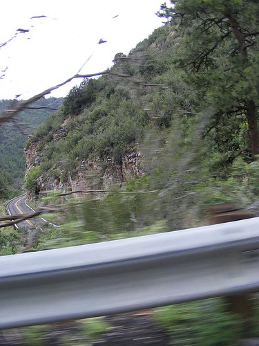
That stripe is the next segment of the road.
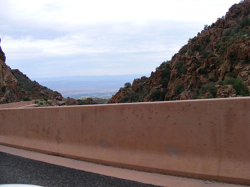
This is looking back to where the previous picture was taken.
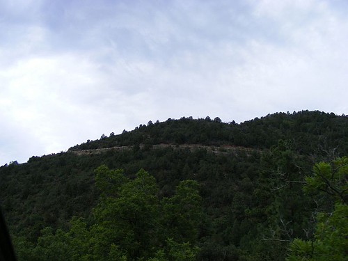
Update: I was told to add more pictures. Thumbnails of the road to Jerome. The usual click for bigger images.
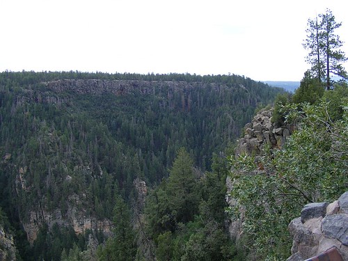
This doesn't begin to convey the breath-stopping beauty of the vista
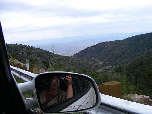
Jim thought this a great picture.
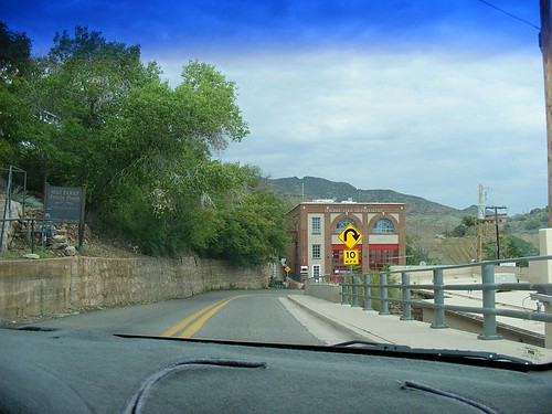
Jerome
Jerome was just as I remembered. It's quite literally built on the side of the hill. This view is coming into Jerome,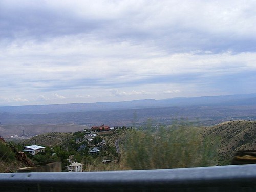
(but the best view for seeing the shape of Jerome is from downhill)
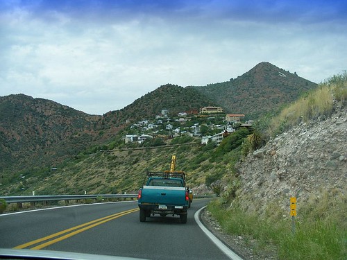
and has the same twisty roads and hairpin turns as the road above. But there was no chance of falling off the mountain, as the buildings would get in the way. At one point, we got stuck behind some poor guy who couldn't quite make up his mind which way to go. The sign said "parking." The road to parking was a narrow, one-way road, going steeply up the hill. A deep breath was taken, and the driver went up the hill to "Parking."
The Road to Parking, Jerome style
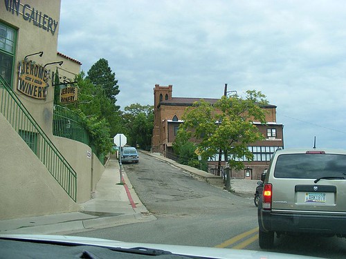
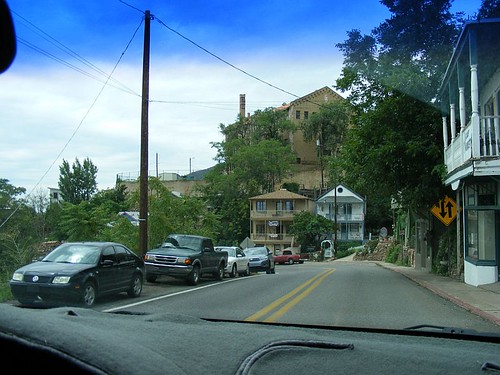
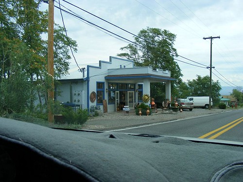
The buildings were old, quaint, and in some cases, falling down. The town has turned into an art community, with stuff ranging from locally produced really cool stuff to kitschy tourist trap stuff.
Some of the first buildings as you enter Jerome.
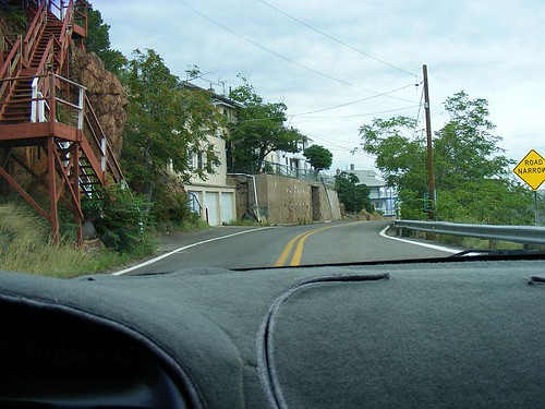
Jerome Fire Station and hairpin turn.
More Jerome
And some of the artwork sold.
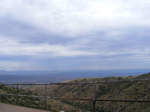
The stunning view from Jerome, even with gray skies
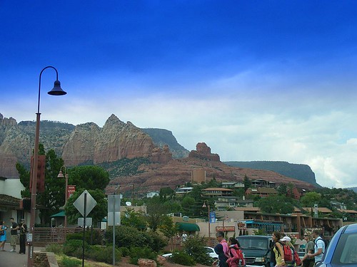
Sedona
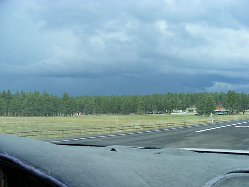
The road to Sedona was quite green as befits an area called Verde Valley. It's apparently growing quite nicely as there were several new buildings under construction, and large sections of the roadway were being widened. Under the gray skies, the gorgeous red rocks of Sedona, normally vivid enough to take your breath away, were simply striking.The normally stunning colors not so bright in the overcast.
Update: more pics, as requested.
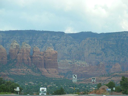
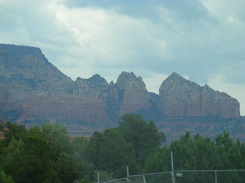
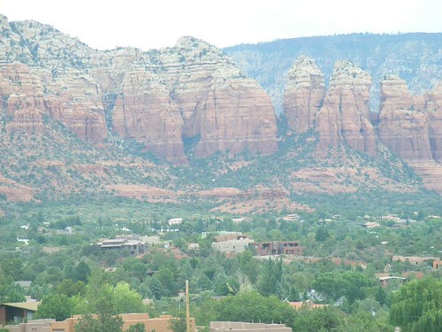
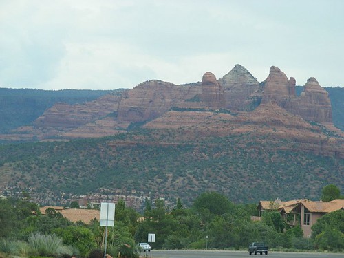
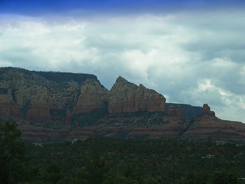
The spires and pillars of Chimney Rock and other well-known formations were a stunning backdrop to the homes and businesses of Sedona, even without the sun's direct light.
The blue stripe at the top is the shading on the windshield.
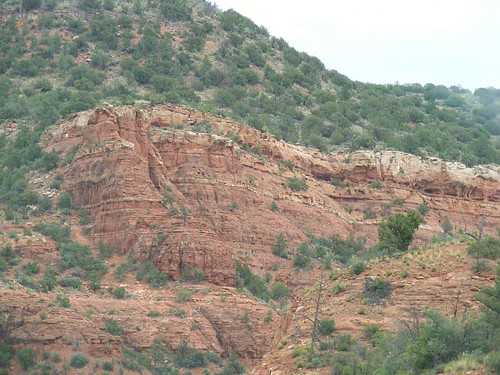
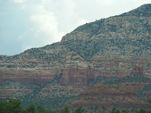
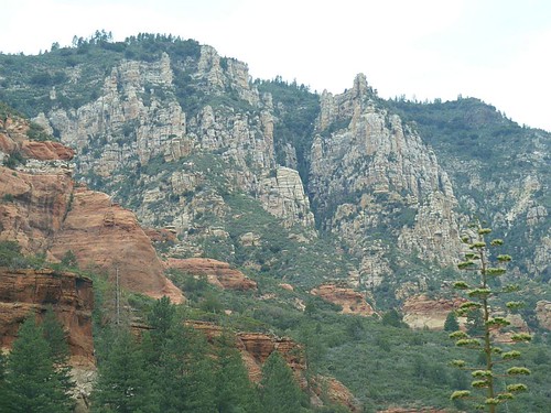
Oak Creek Canyon
It turns out there's a longer, less mountainous route to Flagstaff, and a shorter route thru, you guessed it, twisty mountain roads. The shorter route, Highway 89A, went up Oak Creek Canyon, lovely and green. Sycamore, pine, spruce, ivy twining thru the trees. The cliffs above us showing the bones of the earth in stripes of rust red and beige. Scattered along the creek are homes, shops, campgrounds. As we go further up, the canyon narrows, and finally we ascend the cliffside to Flagstaff. At the top was a visitor's station, very welcome restrooms (it was a long way up the canyon), and a view point. A truly stunning view point, back down a segment of Oak Creek Canyon.Oak Creek Canyon cliff sides.
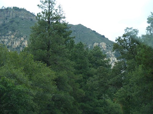
Beautiful mixed forest.
From the view point at the top of Oak Creek Canyon.
This is probably the east side of the thunderstorm that almost drowned us the night before.
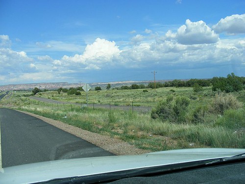
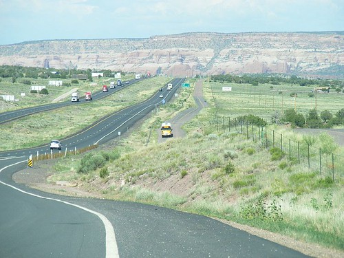
Road to Gallup
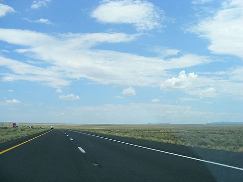
Catching I-40 again, heading east. The vegetation changes from pine forest to scrub trees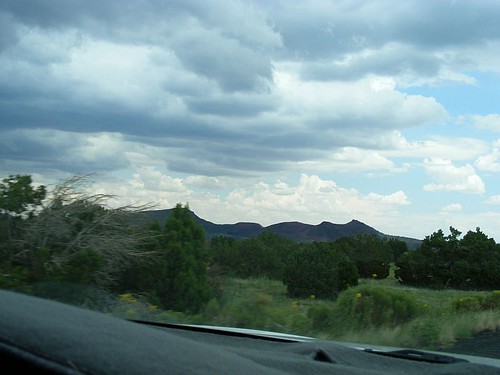
to sage and other small brush scattered across the landscape. It's high desert, and the farther away we get from the mountains around Flagstaff, the more desert-like it gets. Rolling hills covered in tan scrub brush, pierced by low mesas, ridges, and the occasional arroyo.
Jim said he didn't care for that part of Arizona, as it was too flat. Reminded him of the plains, where you could see all the way to the horizon, without benefit of mountains. I adore that part of Arizona. I have many summers' worth of wonderful memories spent in Winslow, on the high desert. I feel very much at home here.
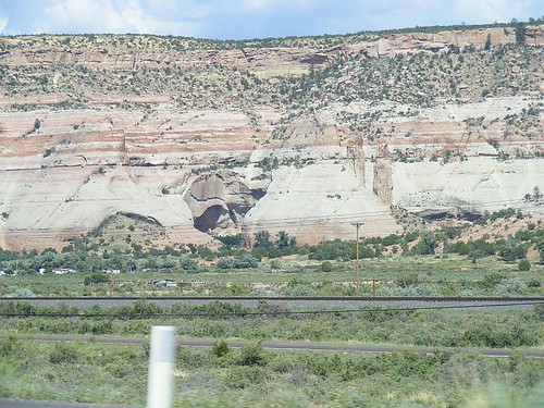
I decided that I'd seen the Petrified Forest already, and wanted to go on into New Mexico, which I had only seen once, from a bus window thirty years ago. I drove from Winslow, so there aren't as many pictures. The landscape around the Petrified Forest and Painted Desert had mesas with those wonderful Painted Desert colors. Not too far from the road were several mound-like mesas, looking remarkably like petrified layered deserts.
As we approached the border to New Mexico, the land rose and got greener. Water could be seen in some of the washes, and there were thunderstorms in the distance.
Then we came over a rise and saw the most amazing mesa. It looked like a painted backdrop for stage.
The road to the right of the main highway is old Route 66, the Mother Road. I-40 paralled Route 66 all the way into Albuquerque.
This is that same mesa, up close.
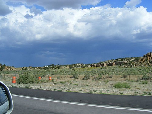
Rain in the distance.
We arrived in Gallup, in plenty of time to find a new hotel when the first one couldn't get their wireless connection to work in the area of our room. Pack everything all back up, head back down the road. Check in to new hotel, set up the computer, finish a project and collapse for the night.
Sunflowers behind the hotel.
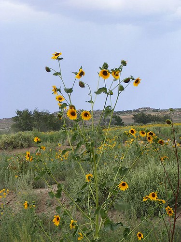
There were sunflowers everywhere in Gallup.
Return to top ^^ NEXT IN SERIES >>


No comments:
Post a Comment